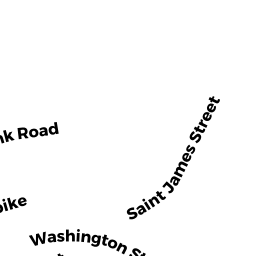
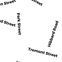
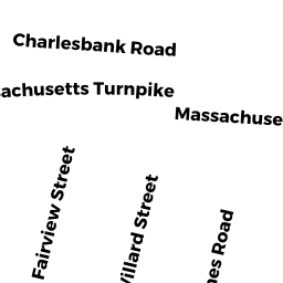
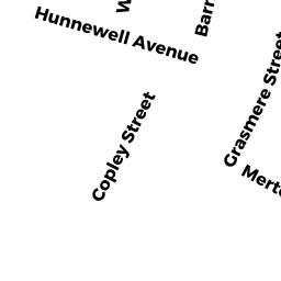
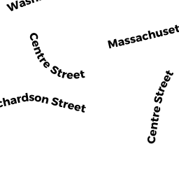
179 HUNNEWELL AVE
Owner Information
LYONS-HUNTER MARY E
179 HUNNEWELL AVE
NEWTON, MA 02458


Property Details
179 HUNNEWELL AVE is classified as a Two-Family Residential (Victorian).
The primary structure on this property was built in 1890. There are 6,328ft2 of built area within this property. There is 3,435ft2 of residential/living space within this property. This property is listed as having 13 rooms.
179 HUNNEWELL AVE is valued at $1,209,900. The land is valued at $603,200 and the structures are valued at $606,700.
This property is in Zone MR1. Confirm with local Zoning Board authorities to ensure there are no overlays or other easements on this property.
The most recent deed for 179 HUNNEWELL AVE is recorded at the local registrar in Book 54840, Page 561. 179 HUNNEWELL AVE was last sold on Thursday, June 17, 2010 for $1.
Assessment data from fiscal year 2022.
Flood Data
According to the FEMA National Flood Hazard Layer, this property does not appear to be in a flood zone. It may also be in an area not yet reviewed. Nonetheless, confirm this information prior to taking any action.
To view the flood hazards around this property, create a FEMA "Firmette" Map of the area around 179 HUNNEWELL AVE.
Broadband Internet Providers
| Provider | Type | Bandwidth (mbps) | |
|---|---|---|---|
| Viasat Inc | Satellite | 100 | 3 |
| RCN | Cable | 1000 | 20 |
| RCN | Cable | 500 | 20 |
| Comcast | Cable | 1000 | 35 |
| Verizon New England Inc. | Fiber | 940 | 880 |
| Verizon New England Inc. | DSL | 7 | 0 |
| VSAT Systems, LLC. | Satellite | 2 | 1 |
| HughesNet | Satellite | 25 | 3 |
| GCI Communication Corp. | Satellite | 0 | 0 |
Broadband service provider data from December 2020.
Adjacent Properties
- 159 WASHINGTON ST #1
Residential Condominium owned by MORRISON KRISTIN E TR - 159 WASHINGTON ST #2
Residential Condominium owned by SEXTON JOYCE L TR - 159 WASHINGTON ST #3
Residential Condominium owned by SMITH ALLAN BRIAN - 159 WASHINGTON ST #4
Residential Condominium owned by CATRAMBONE MARK A - 159 WASHINGTON ST
Other, Open Space owned by 159 WASHINGTON ST MASTER DEED - 169 WASHINGTON ST 2
Residential Condominium owned by MCEACHERN KATHLEEN TRACY TR - 169 WASHINGTON ST 3
Residential Condominium owned by FROST DENISE A - 169 WASHINGTON ST 4
Residential Condominium owned by SINISI MICHAEL D - 169 WASHINGTON ST 5
Residential Condominium owned by OROURKE DEBORAH M - 169 WASHINGTON ST 6
Residential Condominium owned by TSURIKHIN IGOR - 169 WASHINGTON ST 7
Residential Condominium owned by BURLEY TRUE M - 169 WASHINGTON ST 8
Residential Condominium owned by BIGATELLO LUCA - 169 WASHINGTON ST 9
Residential Condominium owned by LI DAYONG - 169 WASHINGTON ST #10
Residential Condominium owned by ROSSINOW DAVID A TR - 169 WASHINGTON ST 11
Residential Condominium owned by CASCAP-METSTATE HOUSING LLC - 169 WASHINGTON ST #13
Residential Condominium owned by KOTHERJA MARIO - 169 WASHINGTON ST 14
Residential Condominium owned by GUERIN LISA ANN TR - 169 WASHINGTON ST 15
Residential Condominium owned by GERROL PAMELA D - 169 WASHINGTON ST 16
Residential Condominium owned by MCMANMON MARGARET M - 169 WASHINGTON ST 17
Residential Condominium owned by WU SHIWEN - 169 WASHINGTON ST 18
Residential Condominium owned by MARINI MICHELLE A - 169 WASHINGTON ST
Other, Open Space owned by THE HUNNEWELL CONDO REVISED PS PLAN - 169 WASHINGTON ST 1
Residential Condominium owned by ROMANITION JOAN - 169 WASHINGTON ST 12
Residential Condominium owned by ALBRECHT MARY - 56 ST JAMES CIR
Two-Family Residential owned by WU XI - 169 HUNNEWELL AVE
Three-Family Residential owned by RESNICK MARC